|
Width: 400 Height: 400 Extent:
YMin: 4375245.17577691 XMax: -8459692.879339073 YMax: 4439799.325828273 Spatial Reference: 102100 (3857) Scale: 609959.2530053168 |
| ArcGIS REST Services Directory | Login | Get Token |
| Home > services > CHESAPEAKE > NA_Tasks_2023_05_08 (MapServer) > export | Help | API Reference |
|
|
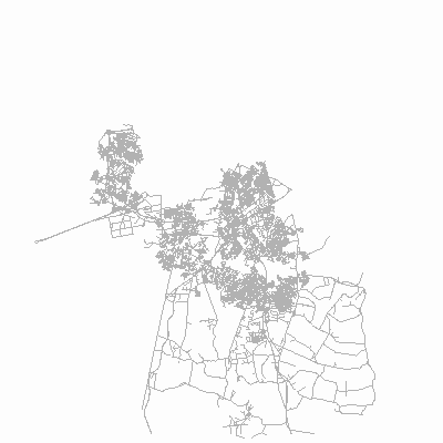
Width: 400 Height: 400 Extent:
YMin: 4375245.17577691 XMax: -8459692.879339073 YMax: 4439799.325828273 Spatial Reference: 102100 (3857) Scale: 609959.2530053168 |